

See the scope before the sales call.
These illustrative engagement profiles show how a request becomes a capture plan, a tested or stated method, and deliverables that fit your working systems. Filter the work by service, industry, or region.
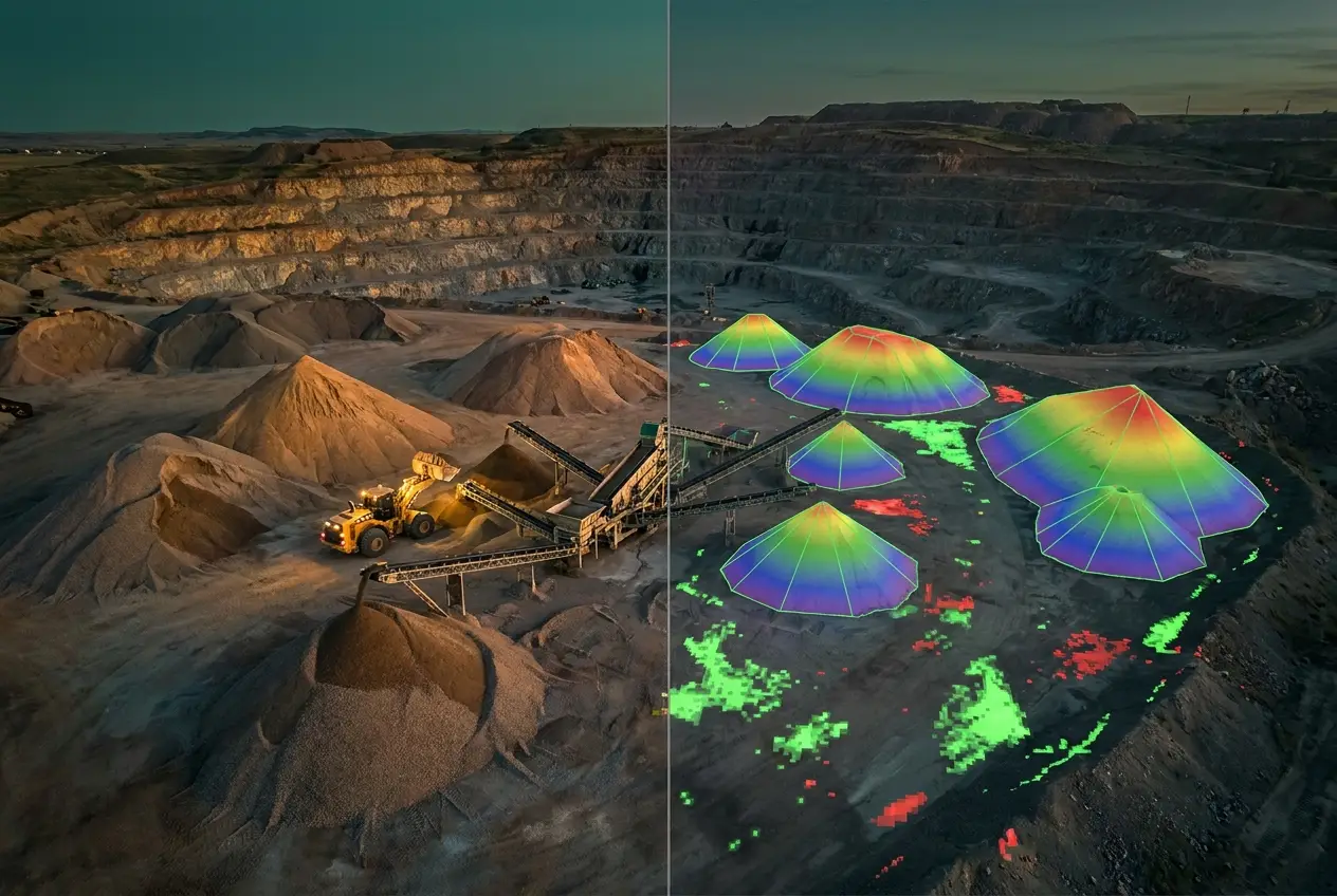
The monthly stockpile measurement
A recurring volume record for an active aggregate operation, replacing roughly three days of ground-crew time per cycle with versioned surfaces and pile-by-pile volume tables. Produced to ASPRS methodology and typically available in the client portal within 24 hours of capture, supporting month-end inventory reconciliation for finance and audit review.
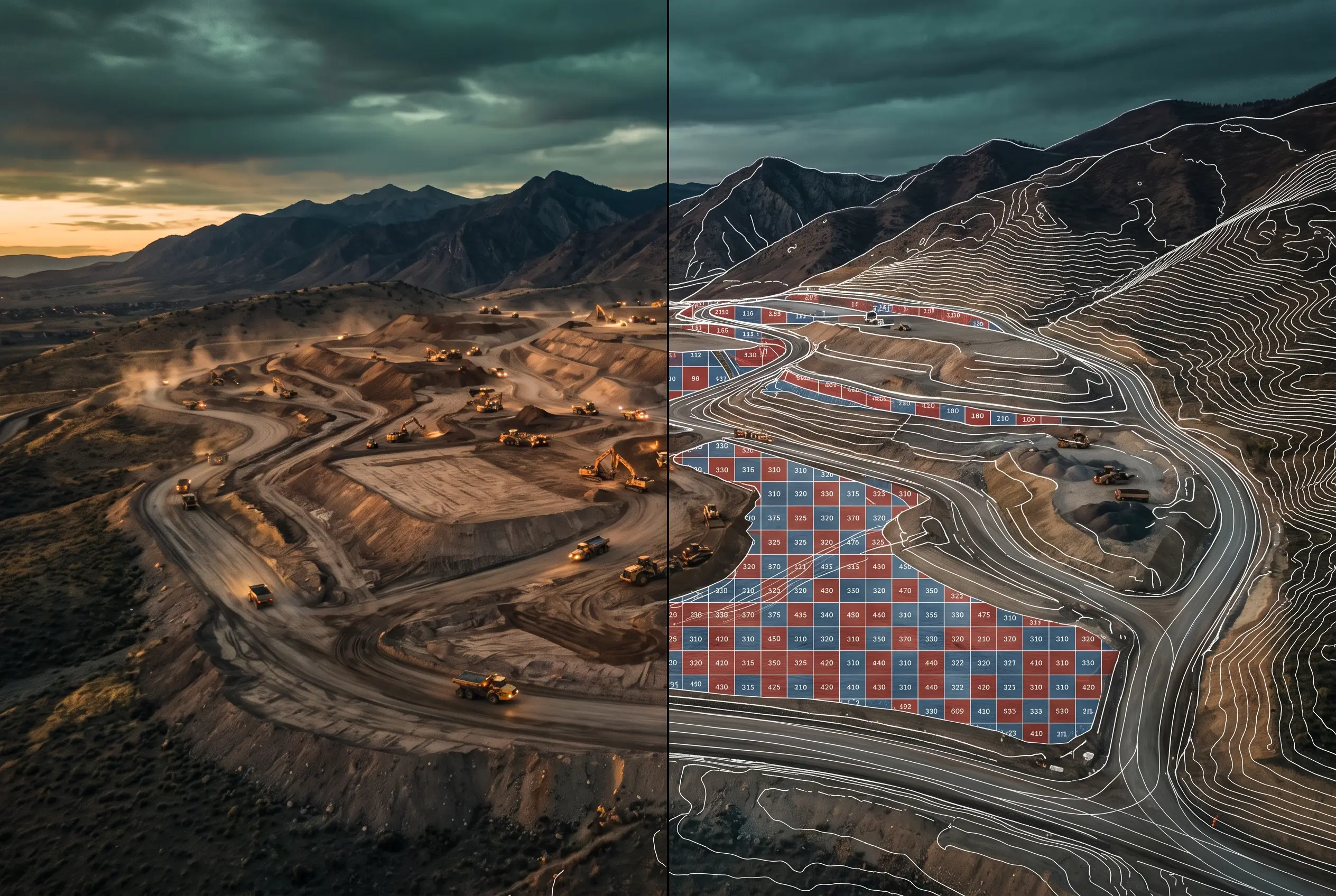
Interstate corridor expansion
A representative corridor scope may combine pre-construction topographic mapping, surveyed or PLS-supplied ground control, and independent checkpoints when specified, delivered as CAD-ready LandXML for the design team.
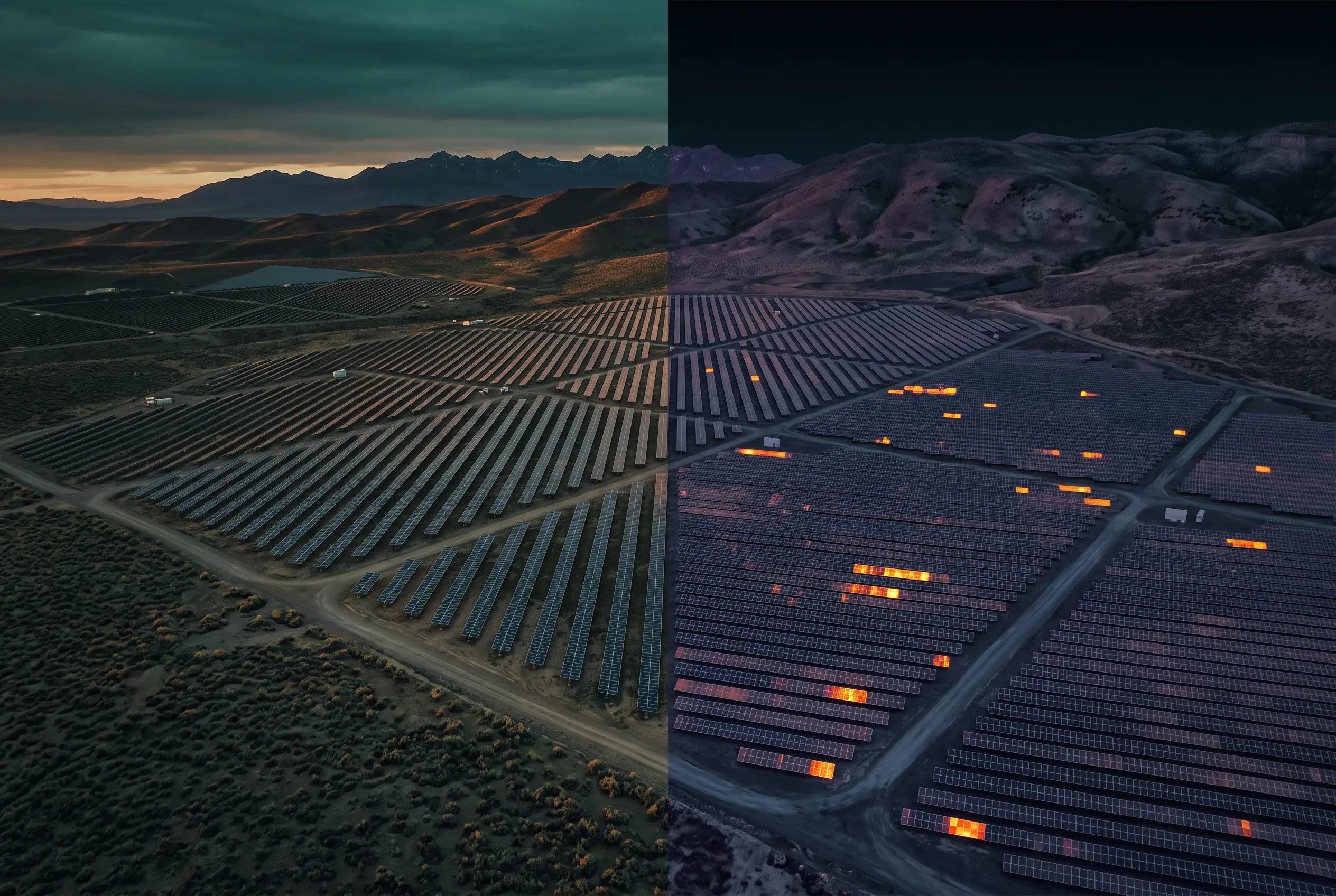
Utility-scale solar O&M inspection
A representative exterior RGB screening program: module-level condition mapping keyed to inverter ID, soiling and vegetation assessment, and an access-road condition report. Not thermography, electrical testing, or a warranty determination; follow-up confirmation is required.
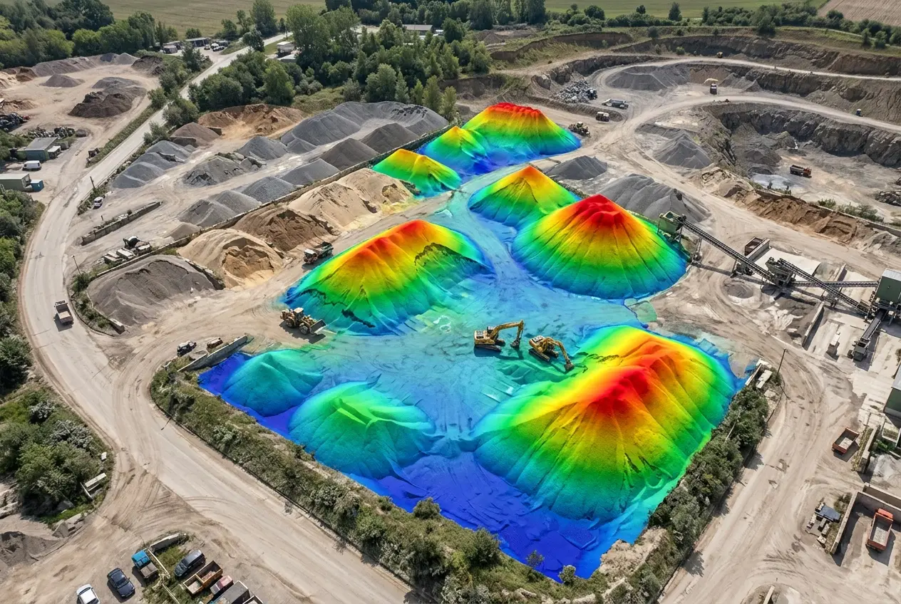
Quarry reclamation tracking
A representative recurring scope may track cut/fill change detection between captures on a quarterly cadence, packaged for state compliance reporting; regulatory acceptance remains with the responsible professional or agency.
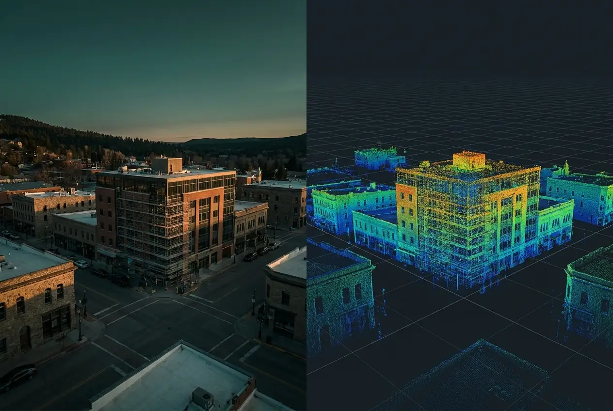
Historic-district 3D capture
A representative documentation scope may combine a textured mesh and classified point cloud with a web-ready embed for a municipal archive, for qualified consultants and public interpretation.
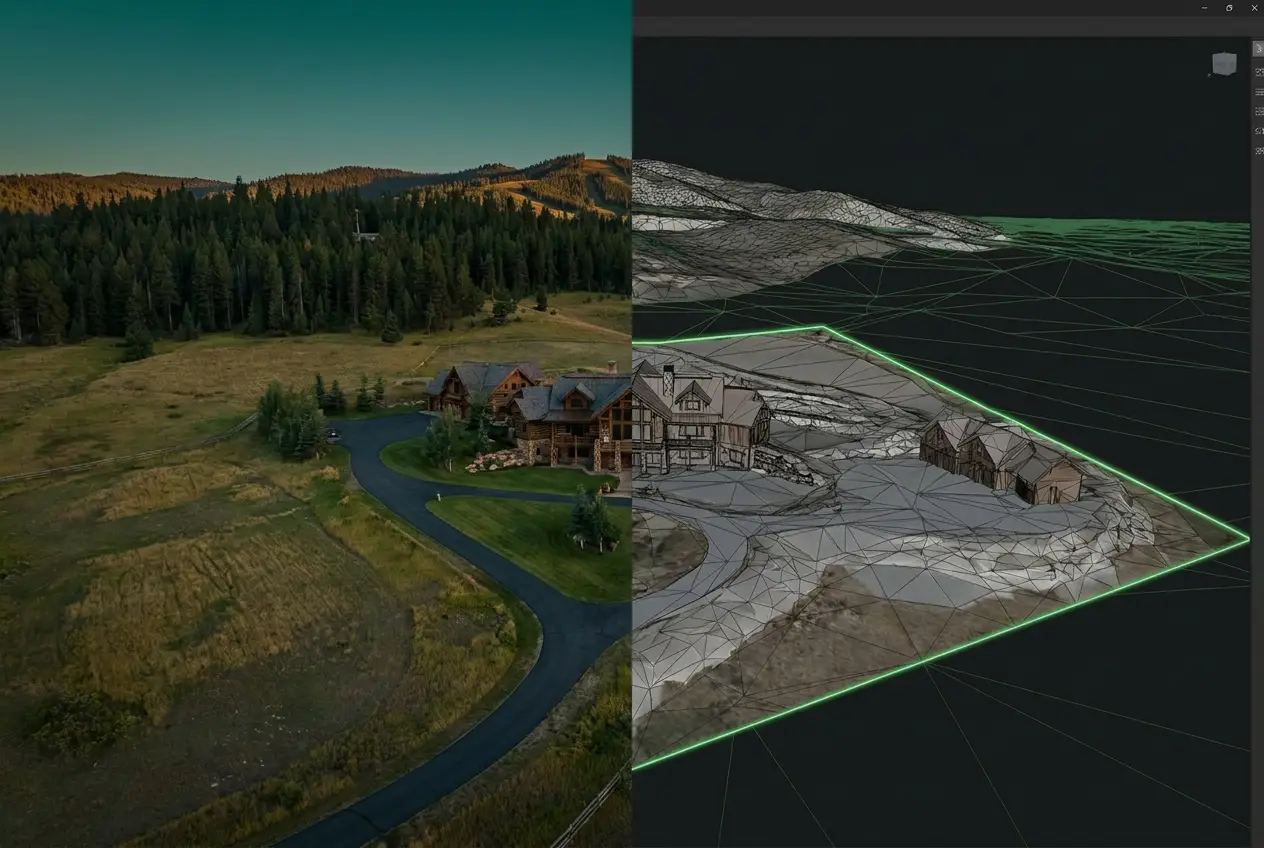
Master-plan marketing kit
Marketing visualization for a residential development launch: twilight aerials, a cinematic flythrough, and lot-overlay photography using client- or PLS-supplied parcel geometry. Not for boundary, dimension, legal, or recordable-survey reliance, and does not replace a professional land surveyor.
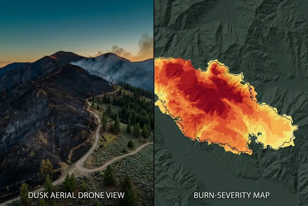
Wildfire burn-severity mapping
A georeferenced orthomosaic and observation layer may support qualified fire and GIS teams after an incident. Thematic classification or public-safety conclusions require a stated method, suitable source data, ground validation, and qualified review.
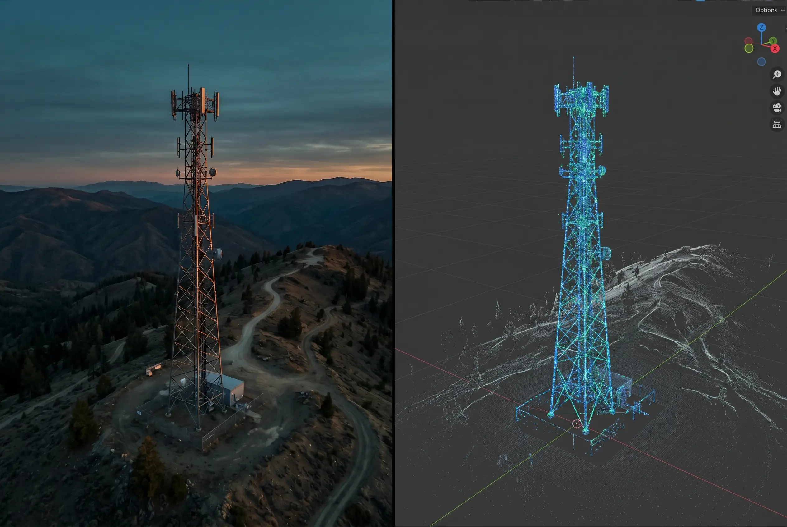
Telecom tower standoff inspection
Exterior standoff-visual documentation across a multi-tower program, reducing routine climbs and helping a third-party certified inspector prioritize follow-up. Defect logging tied to GPS-anchored imagery; scope excludes RF testing, energized close-up work, climbing inspection, structural or electrical certification, and any completeness guarantee.
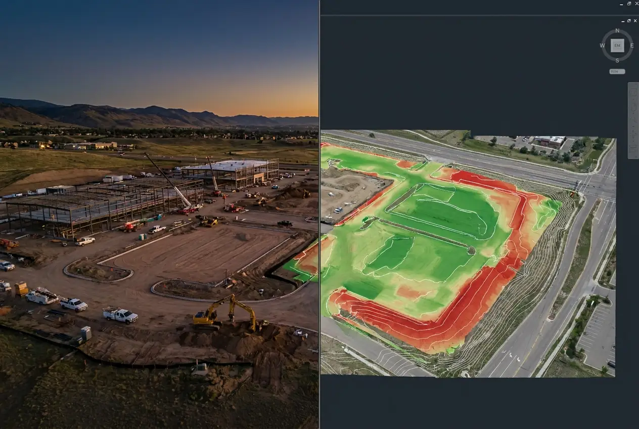
Logistics-park progress program
A representative recurring capture program may provide monthly orthomosaics, time-lapse progress imagery, and earthwork volume comparisons for the GC's owner reports; methods and cadence are quoted by project.
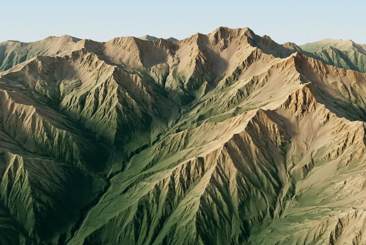
Reservoir feasibility topographic mapping
A representative existing-conditions scope for a dam-rehabilitation feasibility study may include a DSM, DTM, and contours at half-foot intervals, with checkpoint documentation. Outputs are not a boundary or recordable survey and are not for engineering reliance without licensed review.
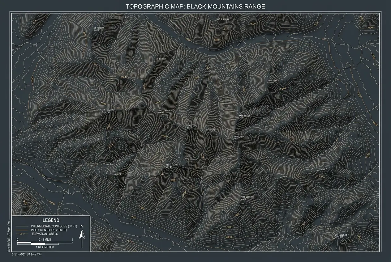
Solar site pre-construction topo
A representative pre-construction mapping scope may include a bare-earth DTM, design-ready contours, and an array-layout surface, with the positional method stated for a utility-scale solar developer's civil design phase.
Bring the decision, not a finished specification.
Share the boundary, timing, and decision the data needs to support. We will help define the suitable capture, control, and deliverable path.