

Evidence for better aerial-data decisions.
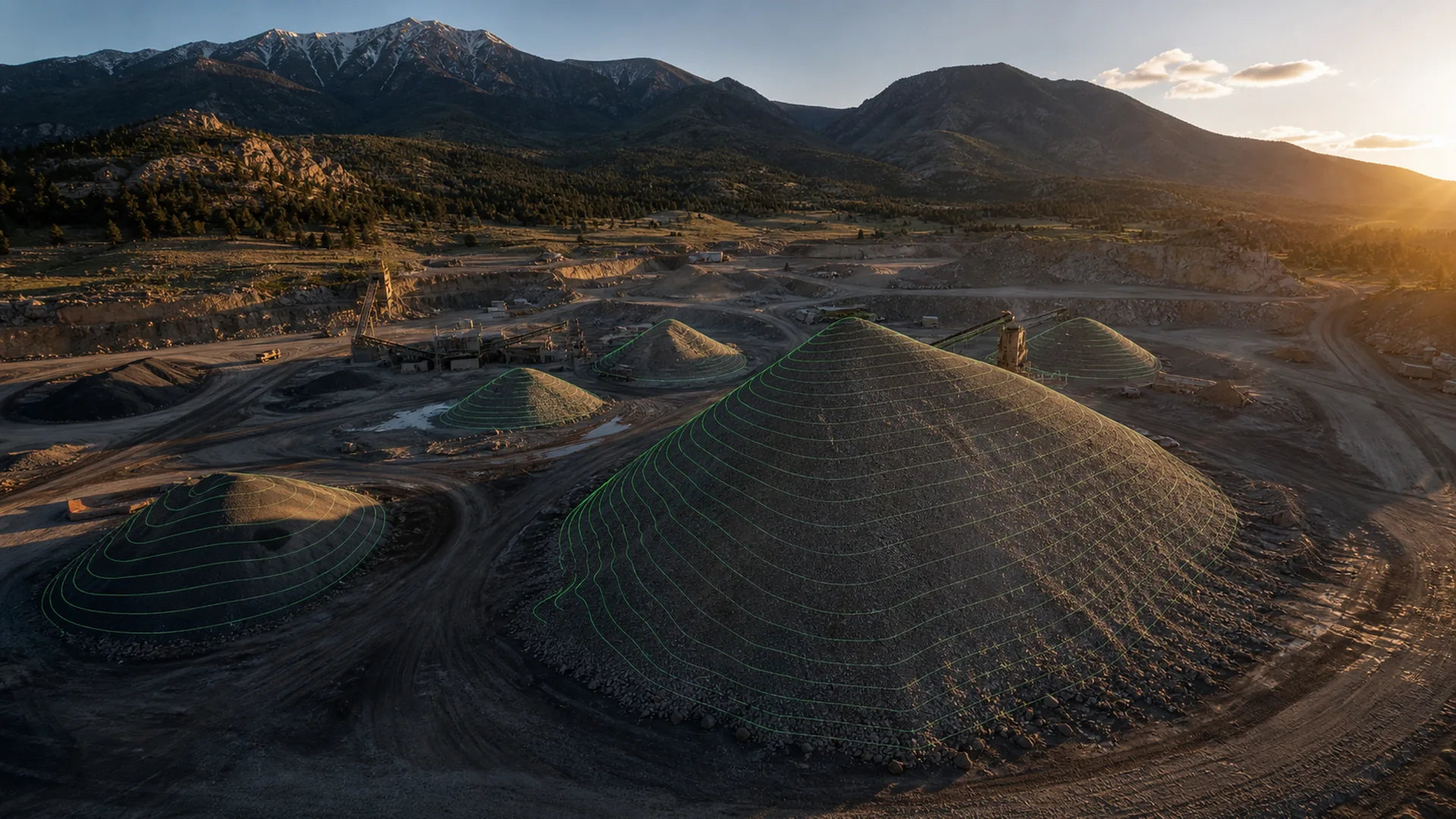
Illustrative profiles and plain-English explainers on aerial mapping, accuracy, and why we process on-site. Written by the crew that flies the work. Each profile is a representative workflow, not a client case study.
All notes
More are in the works. Want one on a specific topic? Tell us→
Planning a recurring stockpile measurement workflow
Illustrative recurring volumetrics at an active quarry, produced to ASPRS and reconciled against finance at month-end.
"Produced to" vs "tested to" ASPRS, in plain English
What the two ASPRS modes actually mean for your deliverable, and when paying for surveyed checkpoints is worth it.
Why we process in the field instead of the cloud
The case for a mobile lab: catching problems on-site, reaching remote work, and skipping the second mobilization.
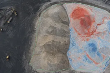
Reading a volumetrics report: cut, fill, and what the number isn't
How stockpile volumes are computed, where the uncertainty lives, and how to compare two captures honestly.
Need a field note on a specific decision?
Start with a free quote, or tell us what you're trying to measure, verify, or deliver.